Call Us: (800) 762-0436

Wheatland Receives International Recognition for Mapping Technology

Wheatland Electric Cooperative, Inc.’s (WEC) commitment to innovation and service has earned international recognition from ENVIRONMENTAL SYSTEMS RESEARCH INSTITUTE, OR ESRI, a global leader in GEOGRAPHIC INFORMATION SYSTEM (GIS) technology.
WEC will receive ESRI’s prestigious SPECIAL ACHIEVEMENT IN GIS (SAG) AWARD at an annual user conference in San Diego, California, from July 13-17, 2026. The award recognizes organizations across multiple industries that are pioneering innovative ways to use mapping and geographic technology to solve real-world challenges.
Selected from hundreds of thousands of clients worldwide, WEC was one of less than 200 organizations honored for transforming the way it conducts field inspections and manages critical infrastructure data across our service territory, according to Michael Godwin, an ESRI account manager. Godwin said WEC stood out not only for its innovation, but also for the way it has benefited the utility industry as a whole.
“WEC’s GIS initiatives have fostered connections within the utility industry and encouraged collaboration amongst industry peers,” Godwin said. “The work Wheatland has done with ESRI technology has been beneficial to the utility industry as a whole, not just at WEC.”
The recognition reflects WEC’s commitment to continuously improving how the cooperative serves its members, according to BRUCE W. MUELLER, CEO/GENERAL MANAGER.
“By embracing innovative technology and empowering our employees with better tools, we’re able to make smarter decisions, operate more efficiently, and strengthen the reliability of the electric system our members depend on every day,” Mueller said.
While the award recognizes WEC’s GIS program specifically, MARK DINKEL, GIS/OMS MANAGER, emphasized that the achievement reflects a cooperative-wide effort.
“It wouldn’t be possible to receive this type of recognition without the help of multiple departments at WEC,” Dinkel said. “Our IT department provided excellent support with servers and security, our operations staff helped define the goals we wanted to achieve, and our lineworkers spent countless hours testing the system and providing feedback on what worked well and what needed improvement.”
According to Dinkel, who has been with WEC for 21 years, pole inspection information was collected manually using paper forms and spreadsheets prior to introducing ESRI’s mapping technology. That process was time-consuming and difficult to analyze efficiently.
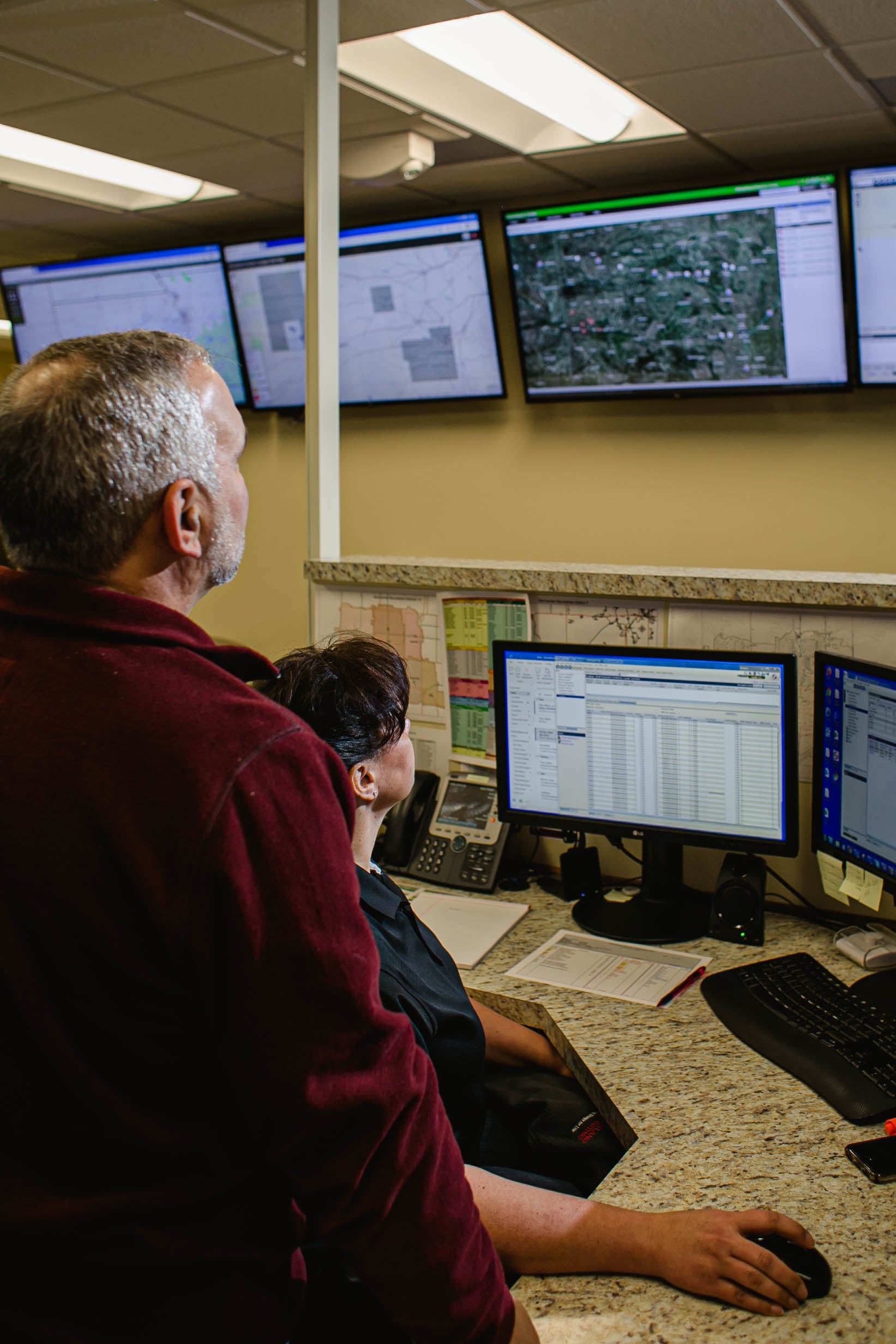
With the help of ESRI, WEC’s mapping department modernized that workflow by implementing ARCGIS FIELD MAPS and ARCGIS DASHBOARDS, creating a streamlined digital inspection system that provided real-time visibility into infrastructure conditions and repair progress.
Dinkel compares the technology to a familiar tool many members use every day.
"It’s similar to using Google Maps on an iPad, but with our entire electric system layered on top,” he said. “Our crews can navigate directly to inspection locations, document issues in the field, and submit that information immediately.”
Once that information is collected, ArcGIS Dashboards provides office personnel with
a real-time view of system conditions and maintenance needs.
“Managers can see what defects have been identified but not yet repaired,” Dinkel said. “If a crew is already scheduled to work in that area, we can assign those repairs at the same time, making our operations more efficient.”
WEC first began moving away from paper-based inspection processes nearly a decade ago, but the recent transition to ESRI’s Field Maps and Dashboards has significantly expanded the cooperative’s capabilities.
The technology has improved visibility into field conditions, equipment status, and ongoing work activities throughout WEC’s service territory, according to BRANDON BARRETT, WEC’S DIRECTOR OF OPERATIONS.
“The system has been instrumental in helping us carry out our Inspection and Maintenance Plan by improving documentation, tracking and accountability,” Barrett said. “Over time, the
data we’re collecting will become an important benchmark for measuring improvements in system reliability and overall operational performance.”
Looking ahead, WEC plans to expand its use of this technology during major storm events. Crews will be able to enter storm damage information directly into Field Maps while patrolling power lines, allowing office personnel to view conditions within minutes.
“That real-time information will help us determine where to send crews first and whether we can perform switching operations to restore power to members more quickly,” Dinkel added.
In addition to improving internal operations, WEC has shared its successes and lessons learned with other utilities through industry presentations and collaboration efforts, helping encourage innovation across the electric cooperative industry.
Since 1998, the SAG award has honored organizations using GIS technology to address complex challenges and improve decision-making through mapping, analytics, and location-based insights. This year, a total of 187 organizations from the commercial industry, defense, transportation, nonprofit work, telecommunications, and government sectors are being honored at the
user conference.
For WEC, the recognition reflects an ongoing commitment to innovation, reliability and better service for cooperative members.
“At the end of the day, this isn’t really about maps or software,” Dinkel said. “It’s about giving our employees better tools so we can maintain our system more effectively, respond more efficiently, and continue providing reliable service to the members we serve.”